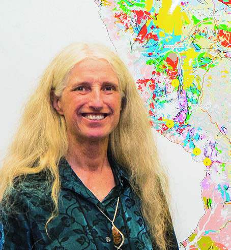
KSM, Valley of the Kings, Red Chris, North ROK, KSP, Granduc – play “connect the dots” with these northwestern B.C. mines and projects, add a little tectonic history lesson, and a distinct pattern begins to emerge. Something big happened along the divide between the Stuhini and Hazelton volcanic arcs. JoAnne Nelson was one of the first to understand what.
The 30-year veteran of the BC Geological Survey spent her career methodically transecting the province from east to west. Combined with her unique background and her interest in mountains, mineralization and tectonics, her theories and understanding of B.C. geology are helping mineral exploration companies hone in on the next major finds.
“JoAnne brings a passion and understanding to B.C. geology second to none. It is infectious,” says Adam Travis, president and CEO of Colorado Resources Ltd., the owner of KSP and other projects along the HazeltonStuhini intersection. “Her big-picture stuff lays the foundation for our more detailed work.”
“I’ve been asking questions in a different way than other geologists,” she says from her office in Victoria. “I brought my own personal style to the job along with an unusual fascination with the entwinement of tectonic processes and mineral deposits that few others possess.”
Like the mineralization patterns she studies, Nelson maps her career path to being in the right place at the right time. It all started with a climbing course in Yosemite National Park. Nelson was born in Seattle, Washington, but grew up in California. Early on, she fell in love with the stories of early Himalayan expeditions. When she finally got on the rock for herself, on a rock climbing course at 14, “I just loved it,” she says.
She told one of the guides, “I want to spend my life in the mountains.” He replied, “You should be a geologist just like me.” When she graduated from high school, she did just that. She enrolled at Reed College in Portland, Oregon, for two years and then transferred to the University of Washington, where she earned her geology degree.
Understanding of plate tectonics was just hitting the big time. “I got caught up in the moment of a scientific revolution,” she remembers. “It led to a lifelong passion for tectonic stories.” She continued studying tectonics and terranes in her graduate work at the University of British Columbia.
Unlike her colleagues, throughout university she spent her summers working for climbing camps, not in the field banging rocks. As an inexperienced geologist of the wrong sex, she emerged from school in 1974 with no job prospects. She dabbled as a teacher before returning to UBC for a graduate economic geology course.
“It turned me on,” she says. “I realized they’re not just piles of metal. The mineral grade is integrated into the tectonic history of a place. It brought it all together.” And it gave her career the bearing it needed. The next year, Resource Associates of Alaska hired her as a field geologist for one of the last great frontier exploration mapping programs, a survey of the Alaska Range. Then she shifted to mapping the Tulsequah project with John Payne, an early mentor. As they dug deeper into the rocks, they redefined the understanding of B.C.’s geological history. Tulsequah was not just a vein deposit. It was a volcanogenic massive sulphide and its host rocks were Mississippian in age, not Triassic Stuhini as previously thought.
“It was a significant revision,” she says. “It addicted me to the process of looking at the details and thinking about how they fit into a broader pattern – the wedding of the fine scale and large scale.”
After a few more years in the private sector, Nelson landed her dream job in 1986 when the BC Geological Survey announced it was hiring project geologists. Over the next 30 years she mapped a detailed transect from the Rockies to the outer coast. With each piece of work, she added a cross section of the crust and was able to explain how large tectonic events corresponded to mineralization. With each discovery, a new idea of what to research next would emerge.
Through it all, the Golden Triangle stands out as the most exciting area. “When you look at the contact of the Hazelton and Stuhini, and overlay all the known deposits, they huddle close to the line,” she says. “The age of the contact corresponds to the age of the deposits. It was the right time and right place for mineralization to form. It’s simple to understand but profound at the same time.”
It proves the value of regional mapping, she says – something many companies overlook in favour of drilling holes in the ground.
“Geological survey mapping is still very valuable – especially in areas with improved infrastructure, new exposures like retreating glaciers, and new understandings,” says Travis. “I called our claims ‘KSP’ because the geology looked similar to KSM. JoAnne’s work proved that it is!”
The Golden Triangle filled in the missing piece of her transect puzzle and her understanding of how tectonics, terranes and mineralization correspond. Now, for the first time in her career, Nelson’s not sure where to look next.
“It’s time for the young people to take over,” she says. “I’ve had my say. I want them to take up the torch.”