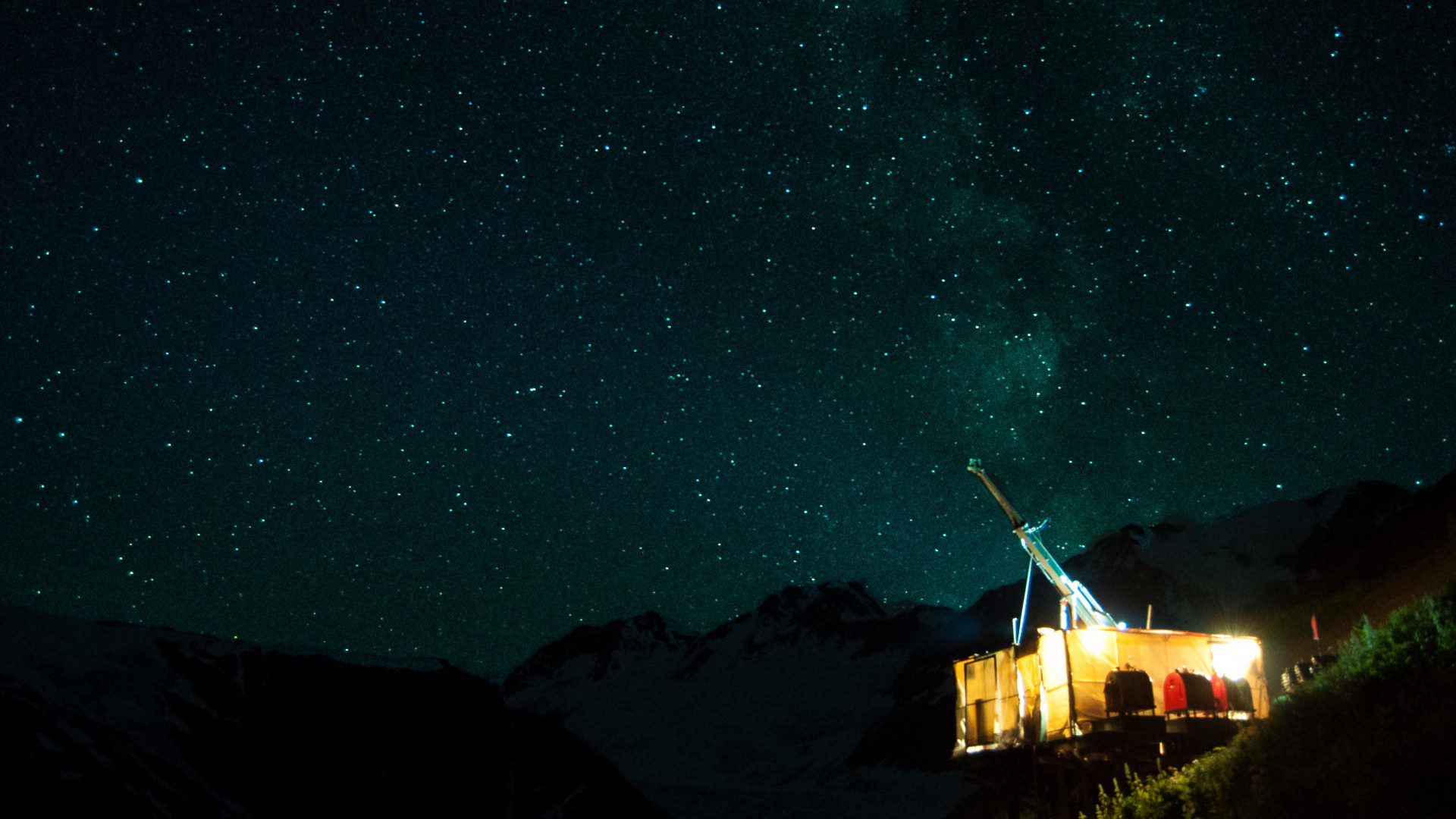
In November 2016, Parlane Resources announced the discovery of native copper on its Big Bear project located to the north of New Gold Inc.’s Blackwater deposit and east of New Gold’s Capoose prospect in central British Columbia. In the news release, Parlane recognized the fieldwork undertaken the previous year on a project supported by Geoscience BC and carried out by researchers at the University of British Columbia’s Mineral Deposit Research Unit. It is welcome acknowledgment of the value that public geoscience holds for explorers in B.C.
Although hard numbers are difficult to estimate, we hear anecdotally that mineral explorers depend on this quality, publicly available geoscience data, particularly at the early stages of a project when budgets are thinner than a shoestring.
“For grassroots explorers, public geoscience helps de-risk the discovery of mineral deposits,” says Bruce Madu, vice-president, mining and minerals, for Geoscience BC, a non-profit organization that funds, generates and disseminates free geoscience data. “By providing fundamental geochemistry, geology or geophysics, public geoscience gives explorers that baseline from which they can focus their search, be more efficient and increase the odds for success.”
British Columbia competes against other exploration jurisdictions in Canada and abroad (such as Ontario, the United States, Western Australia and parts of Africa) for a limited and often shrinking pot of global exploration spending dollars. In 2016, explorers spent US$6.89 billion on exploration, down from a record US$20.5 billion in 2012, according to S&P Global Market Intelligence’s 2017 Corporate Exploration Strategies report. When budgets are stretched and commodity prices are down, the availability of quality public geoscience data might be the deciding factor between investing in B.C. or not.
“Grassroots explorers rely on geological maps and the ability to search and display information from online databases,” says Steve Rowins, chief geologist and executive director of the British Columbia Geological Survey (BCGS). He points to the databases provided by the BCGS – in particular, BC Digital Geology, MINFILE, COALFILE, ARIS and the geochemical database. “These collections provide open-access geoscience data and custom map-making tools to aid in the discovery of mineral deposits, and make British Columbia a preferred destination for investment in mineral exploration.”
Explorers interested in working in B.C. are lucky to have access to a wide range of quality earth science datasets through Geoscience BC’s Earth Science Viewer or the BCGS’s open-source MapPlace 2, which was recently updated and now is faster and easier to use, handles larger datasets, and provides access to third-party base maps and imagery. Other geoscience data repositories are also available at the federal level through Natural Resources Canada, and from private companies like Geosoft’s Public DAP Server.
“It’s so important to get the delivery mechanism right,” agrees Madu. “Data has no value if users can’t access it easily, turn it into information and grow it into knowledge.” Each year, both the BCGS and Geoscience BC summarize the new research, surveys and mapping activities undertaken, for release at the annual AME Roundup conference.
It’s also a priority for Geoscience BC, says Madu, to expose new users to the benefits of the data – for example, the resource departments of First Nation governments around the province and community leaders trying to attract investment to their region. The public-facing earth science portals serve a wide range of users and must appeal to technical and non- technical audiences. Mineral exploration and mining are key drivers for the local, provincial and national economies. Supporting the agencies that provide the industry and communities with quality earth science information should be a priority for any resource-based jurisdiction competing on the global exploration stage.
Search Project Covers More Than 40,000 sq. Kilometres
In early 2017, Geoscience BC launched Phase III of the Search project, a multiyear initiative collecting high-resolution airborne geophysical data over central British Columbia. During the summer and fall, more than 42,000 linekilometres of new airborne magnetic and radiometric data were collected across a 9,600-square-kilometre area.
The Search area now covers a large swath of highly prospective land that is already host to several mines and advanced exploration projects with enormous potential for new deposits. Since the project was launched in 2015, Search has delivered new geophysical information and helped to identify previously overlooked geological and structural features. Search Phase I released an airborne magnetic survey over the Kitimat Terrace-Smithers area, and Phase II involved one of the biggest airborne surveys in the world in 2016 between Smithers and Vanderhoof, collecting 116,000 line-kilometres of new data over three months. Geoscience BC, the BCGS and the Mineral Deposit Research Unit collaborated to groundtruth the Search Phase I geophysical results and provide new geological mapping in the Terrace area.
Results from the 2017 survey will be available at AME Roundup 2018.
