
One of my favourite movies of all time is Stanley Kubrick’s epic Full Metal Jacket. Among his numerous memorable quotes, Gunnery Sergeant Hartman states that, “the world’s most dangerous weapon is a marine and his rifle.” In the world of mineral exploration, the most powerful mine-finding technology is a creative geologist with his hammer and hand lens! But just as rapid advances in computing power and technology have made the military more efficiently lethal since the Vietnam War, the new and evolved technological tools at the disposal of the modern explorationist have dramatically increased their efficiency and effectiveness.
Since I started in mineral exploration as a student in 1990, the impact of technology has been tremendous and has surely changed the process of discovery. Here is my top-10 list of the most important technological advancements I’ve seen over the course of my career.

1. GIS
Easily the most powerful technological tool at a geologist’s disposal is a geographic information system. Industry-standard software packages such as MapInfo and ArcGIS integrate geological, geochemical, geophysical, physical and cultural geography, drilling and any other geospatial data relevant to mining and mineral exploration. Prior to the integration of GIS into mineral exploration, all of this data was plotted by hand using armies of draftsmen with their stencils and ink pens, on layers upon layers of maps and overlays. Modern geologists can now carry gigabytes of information into the field with them on handheld PDAs integrated with GPS technology.
2. GPS
Handheld GPS units help field personnel collect and record accurate data sites for samples, drill holes and any other point features required on an exploration project. Gone are the days of often-inaccurate, manually measured grids, particularly in steep, heavily vegetated or featureless areas of B.C. (As a junior geologist working in Alaska, I spent a day mapping the wrong ridge on the wrong mountain; my helicopter pilot was just as confused as to our location as I! ) The GPS has joined the geological compass, rock hammer, hand lens and field notebook as a standard component of every geologist’s field vest.
3. Grade block modelling software
After all of the challenging and creative work by mineral explorers, it basically comes down to two numbers: the size of the mineral deposit and the grade. Through interpretation of geology and assays from drilling, geologists and mining engineers have been tasked throughout modern history with attempting to estimate these values prior to feasibility studies and mining. 3D ore deposit modelling and resource estimation software have been invaluable in this most-important exercise.
4. Hydraulic diamond drills
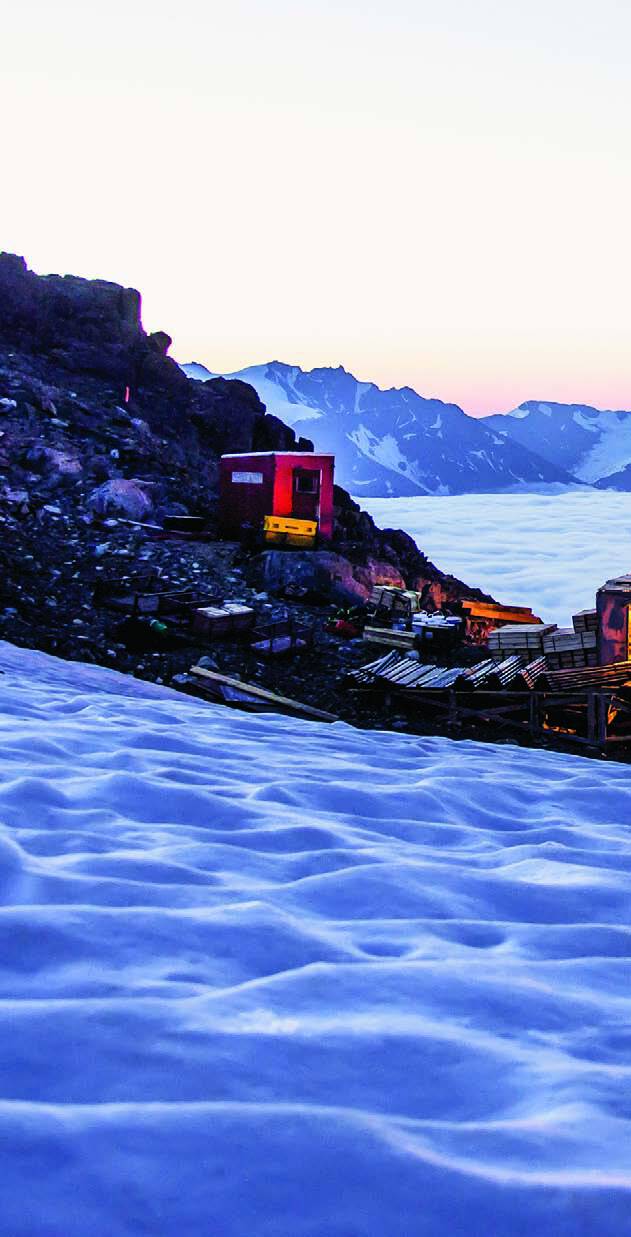
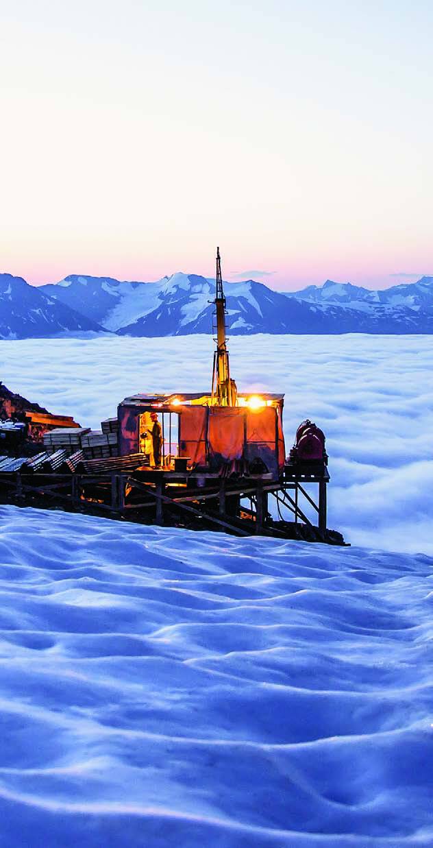
Finding an ore deposit is no easy task. If it is located in remote and rugged terrane, it can also be an expensive exercise. In the early and mid-1990s, the transition from heavy gear-driven rigs to hydraulic diamond drills dramatically reduced the size and increased the efficiency of core drills. In British Columbia, early developers and users of these drills contributed to the wave of discoveries of deposits and mines during the ’90s. These drills were often modular and efficiently helicopter-portable, and, along with the implementation of thin-walled drill pipe, these small but powerful drills could reach to great depths.
While working for Homestake Mining in 1995, I remember with what great fanfare Smithers-based Hy-Tech Drilling’s helicopter-portable rig completed a diamond drill hole over one mile long! This example of made-in-B.C. ingenuity with small, efficient, hydraulic rigs continues today.
5. Lidar
All advanced exploration deposits require a good base map with accurate topography. Originally developed shortly after the invention of the laser, Lidar is a remote sensing technology that measures distance by illuminating a target with a laser and analyzing the reflected light. Using GPS technology, aircraft-based Lidar systems provide decimetric-or-better topographic accuracy, and can aid with geological interpretation. As a further benefit, this process can “see” through thick vegetation cover.
6. ICP-MS and XRF
Two analytical technologies that have been steadily improving annually have helped quantify geochemical sampling media to greater accuracy and efficiency. In assay labs, the ICP-MS process is capable of detecting dozens of elements simultaneously, often at concentrations as low as one part trillion. This is achieved by ionizing the rock, soil, water or organic sample with inductively coupled plasma and then using a mass spectrometer to separate and quantify the concentrations.
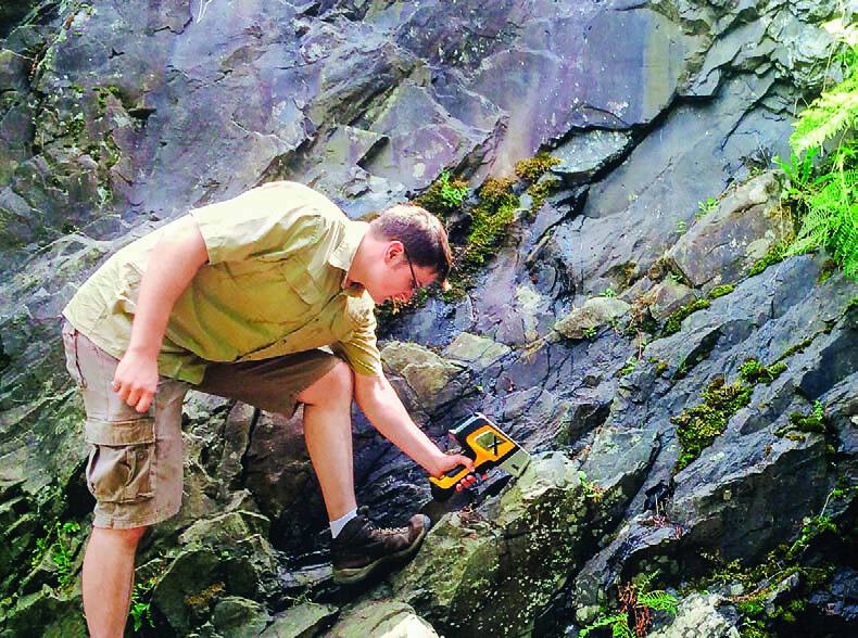
Similarly, X-ray fluorescence (XRF) technology has been steadily improving, more accurately quantifying individual metallic and non metallic elements. Not limited to the assay lab, handheld XRF analyzers such as Niton and Innov-X allow for real-time geochemical analysis in the field. Their sensitivities are steadily increasing and analyzers have a variety of field applications, such as allowing geologists to estimate a sample’s metal values, or even estimate bedrock geology based on scanning overlying soil.
7. IP inversion
Data collection methodology and interpretation have evolved, particularly with industry’s access to ever-increasing computing power, such as the Titan 3D IP systems. However, the inversion technologies have arguably made the biggest impact. Originally developed at UBC, IP inversion did away with the previous practice of plotting “pseudo-sections” of raw data, instead incorporating the data into a best-fit model that will often incorporate the geological and geophysical properties of the host rock. This has resulted in a more realistic and useful interpretation of the data, which has allowed for better targeting of drill holes to look for hidden deposits.
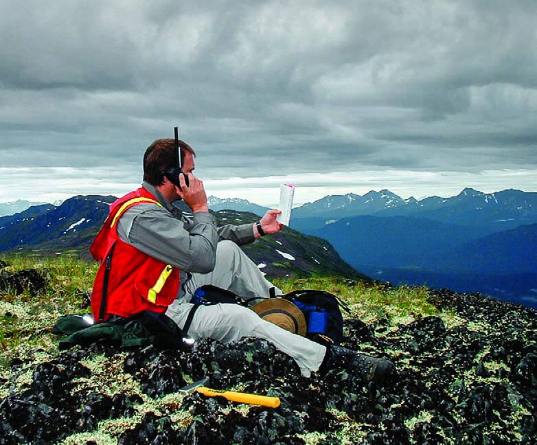
8. Satellite telephones
As an undergraduate student working in Placer Dome exploration camps in northern B.C., part of my evening entertainment was to listen to sideband radio chatter. This was one sided radio phone communication from a variety of exploration camps throughout the North. The introduction of Globalstar and Iridium satellite phones has dramatically improved communication with isolated crews and camps. Improved safety and security are the most important impacts. And when I’m in the field, I’ll take the opportunity to call up my children over eavesdropping on my friends in the next camp any time!
9. Field-portable infrared spectrometer
Throughout the circum-Pacific “ring of fire,” ancient hot springs often deposited bonanzas of gold and silver at depths when waters would boil, generally at ancient water tables. These “epithermal deposits” often contain very high grades, but locating these “bonanza zones” can be challenging. The hot, often acidic waters associated with the gold and silver transform or alter the mineralogical makeup of surrounding host rocks, often to different fine-grained clay minerals. Unfortunately, most of the clay minerals can look the same. Field-portable infrared spectrometers have led to multiple discoveries, particularly in Latin America, by helping explorers identify and map on surface or drill core the clay mineral “alteration” that can vector to the bonanza zones.
10. KIM analysis
The geochemical and mineralogical analysis of kimberlite indicator minerals was previously a closely guarded industrial secret held by diamond miner De Beers, and explorers were generally clueless to the peculiar geological and geochemical nature of diamond-bearing kimberlite pipes. Diamond exploration pioneers such as Hugo Dummett, Stu Blusson and Chuck Fipke followed KIM indicator minerals such as G10 garnets, chrome diopside and spinels through analysis of glacial till samples deposited during ice age events. This methodology led to kimberlite discoveries at Diavik, closely followed by Ekati and Snap Lake in the Northwest Territories.
