The unique geology of southeastern British Columbia has long been of interest for the mineral resources it contains. Not only does the region host good mineral potential, but the ease of access and well developed infrastructure make it a favourable and profitable place for companies to work. Teck Resources Limited’s zinc-lead smelter is also in operation there. Several mines and quarries operate within the region, contributing to both direct and indirect revenue and employment for surrounding businesses and communities, and for the entire province.
The north-south-running Rocky Mountain Trench separates two major metallogenic provinces. On the western side, an older suite of Proterozoic greenschist facies rocks of the Purcell Supergroup (Belt Purcell) and intrusive rocks host base and precious metals. To the east of the trench, largely unmetamorphosed Paleozoic to Mesozoic carbonate and clastic rocks of the Rocky Mountain fold and thrust belt are mined for coal and industrial minerals (gypsum, magnesite, tufa, limestone and silica).
Belt-Purcell Basin
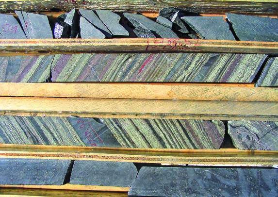
The Mesoproterozoic Purcell Supergroup of southeastern B.C., dating from 1,500 to 1,300 million years ago, and the equivalent Belt Supergroup in Idaho and Montana, represent up to 12 kilometres of marine and non-marine sedimentary rocks that were deposited in a north-northwest-trending intracontinental rift basin. Evidence of synsedimentary faulting during graben extension and sporadic magmatism characterize the lower Belt-Purcell stratigraphic successions (e.g., Moyie sills). Once deeply buried, these rocks were exposed at surface over an area of about 200,000 square kilometres during the Mesozoic contraction. About 10 per cent of this area is in southeastern B.C. The importance of the Belt-Purcell lies within its unusually high metal endowment, from both Mesoproterozoic and Jurassic-Cretaceous metallogenic events. Placer gold was discovered in the Belt-Purcell in the 1860s. With the influx of prospectors and miners, it wasn’t long after that world-class discoveries were made: lead-silver at Coeur d’Alene, Idaho, and a copper-silver-gold- molybdenum porphyry-epithermal system at Butte, Montana. Within the Canadian portion of the Belt-Purcell, the North Star and Sullivan SEDEX deposits were discovered in 1892. Intracratonic rift systems that have been infilled by marine sediments such as the Belt-Purcell have long been recognized as the most favourable environment for the formation seafloor hydrothermal zinc-lead-(copper) sulphide, or SEDEX, deposits. These are prime exploration targets because of their large tonnage and grades. The Sullivan mine in Kimberley, B.C., operated from 1909 to 2001 and produced over eight megatonnes of zinc, 8.5 megatonnes of lead and 285 million ounces of silver over its lifespan.
At the time of its closure, it had become both Canada’s longest-lived continuously producing mine and one of the world’s largest lead-zinc producers. Over its 92 years of active production, it contributed over $20 billion (in today’s metal prices) to the economy, and the average number of employees each year exceeded 1,000. The early establishment of the phenomenal mineral endowment of the Belt-Purcell has supported an almost permanent mineral exploration interest in the area. Later discoveries included massive sulphide replacement deposits (Irish, Mississippi Valley and Manto); Mesoproterozoic intrusion and fault related silver-lead-zinc and copper-silver veins; seafloor copper cobalt deposits (Blackbird mining district and Sheep Creek); red-bed copper-silver deposits (Montana copper belt, such as at Spar Lake); and Mesozoic shear and vein gold. More recent work has also suggested potential for iron oxide copper-gold (Olympic Dam) type deposits and platinum group element mineralization in mafic intrusions.
Today, ongoing exploration continues in the region, and millions of dollars are spent each year on the acquisition of mineral tenures and exploration programs by companies and prospectors, as well as public geoscience initiatives by the Geological Survey of Canada, Geoscience BC and academic groups.
Rocky Mountains and coalfields
After the eventual breakup of ancestral North America (780 million to 570 million years ago), passive margin siliciclastic, carbonate and evaporitic sedimentary rocks were deposited on the western flank of the continent during the Paleozoic era. Terrane accretion to the margin of the continent in the Mesozoic era caused these sequences to be uplifted and thrust northeastward. Thrust loading and uplift to the west also led to foreland basin subsidence to the east, and the development of the Jurassic-Cretaceous coal swamps. Continued accretion, uplift and eastward migration of the deformation front eventually caused these coal deposits to also be uplifted in the Rocky Mountain Front Range. Today, structurally thickened and upturned coal seams of the Mist Mountain formation extend along a northwest-southeast trend for 175 kilometres. Coal discoveries in the Elk Valley date back to around 1845. The first underground mine, at Coal Creek, opened in 1897 and operated until 1958. In the early 1900s and into the 1960s, several other underground mines operated intermittently. These included the Morrissey, Hosmer, Michel/ Natal and Corbin mines. All produced industrial steam coal and coke for the smelting industry. The Balmer mine was the first large open-pit mine in the Elk Valley. It opened in 1968, and was encompassed by the currently operating Elkview mine.

The Elk Valley today is a major source of mining revenue for the province. Currently, there are five operating metallurgical coal mines in the Elk Valley, with ongoing expansion plans and a few other projects that are moving forward from advanced exploration to the environmental assessment stages. The main product is metallurgical coal, which is used in the steel-making industry. In 2015, production from the Elk Valley was approximately 25 megatonnes, making up approximately 90 per cent of Canada’s total annual coal exports and accounting for 44 per cent of British Columbia’s $6.9 billion in direct mining revenues. Over 5,000 people are directly employed at the mines, in addition to thousands of other contractors, service providers and suppliers, bringing in additional indirect socio- economic benefits to the region and to the province. In addition to coal, the upturned thrust sheets of the Rocky Mountain fold and thrust belt also host siliciclastic, carbonate and evaporitic sequences with relatively easily mined industrial minerals such as gypsum, magnesite and silica. Several industrial mineral operations exist in the region, providing additional revenues for the province and employment opportunities for the region.