Over the years, a large and varied network of support industries that provide a range of products and services to British Columbia’s mineral exploration industry has grown up in the province. For example, there are a number of local technology organizations that provide research and development services, such as Geoscience BC, and products, such as Micromine.
AME BC president and CEO Gavin Dirom says B.C.-based scientists and companies have a long history of applying innovation and technology to mineral exploration and development. “Part of today’s mineral reality is that the relatively-easy-to-discover deposits have been found,” says Dirom. “Organizations such as Geoscience BC and technology firms – many of which are located in Vancouver, and account for over 40 of AME BC’s corporate members – are critical for developing information and geoscience tools that help us find new discoveries.”
Geoscience BC is an independent, industry-led applied geoscience organization. Its mandate is to encourage mineral and oil and gas exploration investment and development in B.C. by collecting, interpreting and distributing publicly available geoscience information. Geoscience BC works in partnership with First Nations, industry, academia, government and communities.
It operates as a not-for-profit society and, since it was founded in April 2005, has received almost $50 million in funding from the provincial government. On October 1, 2013, Geoscience BC president and CEO Robin Archdekin succeeded ’Lyn Anglin, who had been with the organization since 2006.
Geoscience BC is conducting a number of research projects, the newest of which is Targeting Resources through Exploration and Knowledge (TREK). The project is being carried out in partnership with a number of other organizations, including Aeroquest Airborne Ltd., PK Geophysics, Noble Exploration Services Ltd., the BC Geological Survey (Ministry of Energy and Mines), and the University of British Columbia’s Mineral Deposit Research Unit.
The goal of TREK is twofold: To explore the northern interior plateau of B.C. – an area believed to be highly prospective for mineral resources, but underexplored due to complicated geology and thick overburden – and to generate information that will stimulate mineral exploration in the area and bring in new investment.
In addition, the TREK program will investigate the potential for geothermal energy in the region. Local First Nations told Geoscience BC they want to find out if there are any geothermal opportunities in the area, particularly around some of their remote, off-grid communities where propane and diesel fuel are the only sources for heat and power.
TREK is a multi-year program. Year one of a two- to three-year geochemical sampling program has been completed, as well as geothermal and bio-geochemical sampling. Airborne magnetic survey data is expected to be released in early 2014 and geochemical results in spring 2014.
Meanwhile, Geoscience BC’s Porphyry Integration Project (PIP) is developing integrated geological, geophysical and geochemical maps and datasets for several important porphyry districts in B.C. The goal of the project is to develop an integrated model for porphyry discovery that links conceptual geological models with practical field exploration. The project builds on existing public and, where possible, private industry data, as well as research conducted as part of Geoscience BC’s Photograph : Sander Geophysics QUEST projects. It will incorporate results from various data sources into an integrated model for porphyry system discovery in B.C.
PIP maps and data sets have the potential to boost exploration interest in B.C. by providing an understanding of B.C.’s porphyry deposits. This new information will lead explorers to new districts and generate new investment in the province. It is expected that final maps and data sets from PIP will be released in early 2014.
Geoscience BC is also working in partnership with the East Kootenay Chamber of Mines in the southeastern part of the province on the Stimulating Exploration in the East Kootenays project (SEEK). The goal of SEEK is to increase mineral exploration in B.C. by acquiring, compiling and adding value to existing mineral exploration information. Funding is allocated to proponents with good ideas for research that, it is hoped, will stimulate new economic activity.
In 2012, funding was granted to a SEEK project that compiled ground station gravity data from several sources in southeast B.C. into the East Kootenay Gravity Database. In 2013, a followup project was undertaken to collect new gravity data and add more historical data to the database. These results were released at the 2013 Minerals South conference in early November.
The new East Kootenay Chamber of Mines Core Library in Fort Steele also received funding from the SEEK project. The mandate of the library is to collect, restore and catalogue core from the Sullivan SEDEX deposit and surrounding areas.
Results of the SEEK project are published on an ongoing basis on Geoscience BC’s website.
The Northern Vancouver Island Exploration Geoscience Project was developed by Geoscience BC and the Island Coastal Economic Trust to generate new geoscience information in an area of the province with a strong history of mineral exploration and mining. The project, which includes the communities of Campbell River, Port Hardy, Port McNeill, Alert Bay, Port Alice, Sayward and Zeballos, was announced in July 2012, and project activities were completed in May 2013. It included two technical components: an airborne magnetic survey flown by Geo Data Solutions GDS Inc. (results released January 2013) and a two-part regional geochemical program managed by Noble Exploration Services Ltd. (results released May 2013).
The Quesnellia Exploration Strategy (QUEST) project began in 2007, and was followed by the QUEST-West, QUESTSouth and QUEST-Northwest projects, the last of which was completed in January 2013.
The QUEST suite of multidisciplinary projects involved the collection of new geoscience datasets to help guide B.C.’s understanding of Quesnellia and Stikine Terrane rocks under cover. QUEST adds new geochemical and airborne survey data, which ![map: Overview of Geoscience BC activities. | Geoscience BC]() help geologists and explorers “see through” the quaternary cover to get a better understanding of the bedrock geology and where to find mineral occurrences. QUEST data will continue to stimulate economic activity in regions of the province that have been negatively affected by the mountain pine beetle infestation.
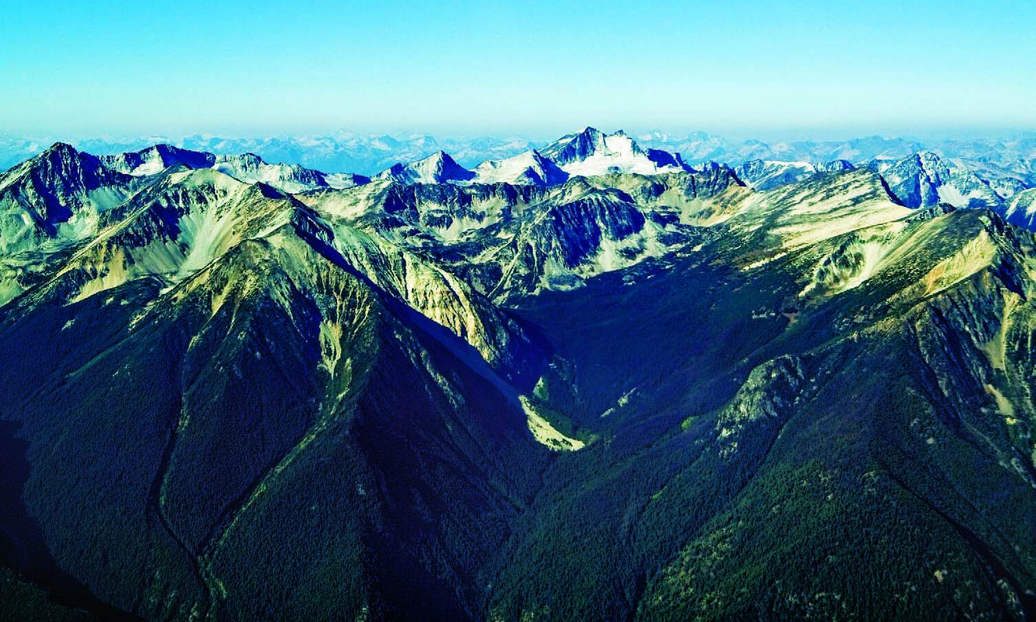
QUEST was named for the belt of rocks called the Quesnellia Terrane, which runs in a long linear zone from Williams Lake to just northwest of Mackenzie, and which is believed to have high undiscovered mineral potential. The zone hosts important deposits and mineral prospects to the north and south of the QUEST project area, where the rocks are moderately well exposed at the surface.
Another technology organization with a local presence is MICROMINE North America, a developer of software for the exploration and mining industry. The company, whose head office is located in Perth, Australia, has had a Vancouver office since September 2005. MICROMINE’s Vancouver office is small – a staff of half a dozen – but important to the company’s North American operations, as it looks after sales, marketing, training and support for MICROMINE’s customers in Canada and the U.S. MICROMINE software is developed in Australia and Russia, but one-quarter of its beta testers are located in North America. The company has upwards of 125 customers in Canada and the U.S.
MICROMINE recently released the latest versions of Micromine and Geobank, its exploration and mine design and geological data management software.
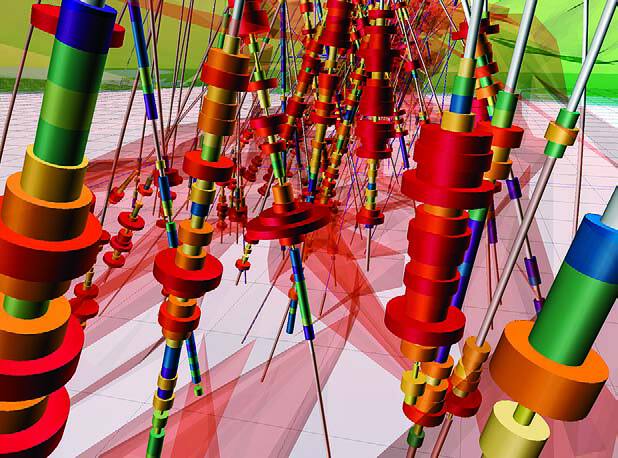
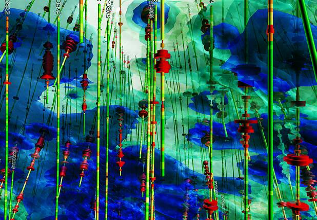
Micromine is modular exploration and mine design software that captures, manages and interprets mining and exploration data. The company says the new features in Micromine 2013 “focus on intuitive usability with enhanced work flow methodologies and logical processes.” Micromine 2013 includes two new modules, Implicit Modelling and Stratigraphic Modelling, as well as enhancements and improvements to other modules.
Implicit Modelling can be used to create and visualize complex wire frames. The module uses industry-standard radial basis to model grade shells, lithology boundaries, faults and surfaces. The wire frames can be displayed in Vizex, Micromine’s 3D environment, and can be used to finalize geological interpretations.
Stratigraphic Modelling enables Micromine 2013 to incorporate seam block models (SBM) and seam modelling workflow. Seam modelling tools simplify the creation of SBMs, such as splits, plies, overburden and interburden.
Geobank 2013 has a new reporting module. Major features include charting, data-binding, master-detail reports, sub-reports and a graphical enduser chart designer. The new software release also includes a new data model framework module that enables users to build their data models with tools that support common data processes and data requirements. Other features include a new audit framework, which increases data accountability by tracking the user name, and the date and time at which data is added and updated in the database; new multilingual support allows users to work in their preferred language.
Pacific North West Capital Corp., a Vancouver-based exploration company whose flagship project is the River Valley platinum metal project near Sudbury, Ontario, is a MICROMINE customer. President and COO Bill Stone says the company has been using Micromine software mostly for geological modelling. Stone says the three most important features of the software are its cost effectiveness, ease of use and the high quality of its technical support. He adds that the most important benefits to the company have been improved geological understanding, exploration planning and project optimization. The software has “greatly aided” the reassessment of the potential for resource expansion and exploration upside at its River Valley project.